Tetra Tech invests in topobathymetric Lidar to map Great Lakes
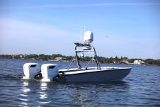
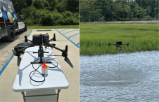
Teledyne Geospatial has announced that Tetra Tech, a leading provider of high-end consulting and engineering services, recently acquired a Teledyne Optech CZMIL SuperNova Topobathymetric Lidar system. Tetra Tech has successfully utilized this system to complete an important project for the National Oceanic and Atmospheric Administration (NOAA).
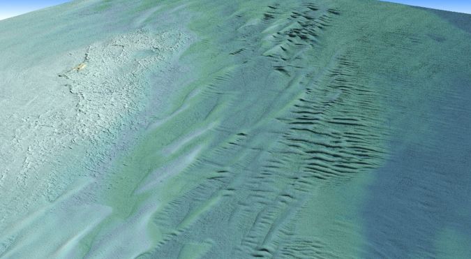
NOAA has been actively engaged in updating bathymetric maps across the Great Lakes region, aiming to refine marine ecology maps. This endeavour requires obtaining precise digital elevation models and reflectance products. The updated data will significantly contribute to improving understanding of the hydrography and ecosystem of the Great Lakes.
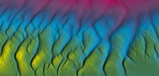
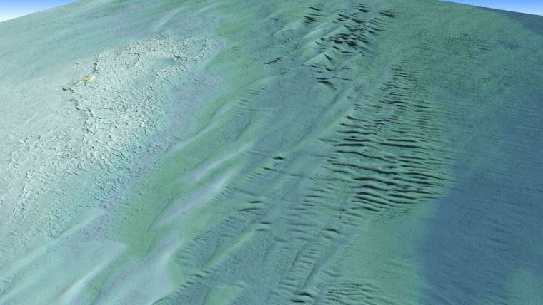
Tetra Tech – a leading player in water, environment and sustainable infrastructure that provides high-end consulting and engineering services for projects worldwide – operated Teledyne’s Optech CZMIL SuperNova system for its best-in-class depth penetration and high-density mapping capability. The CZMIL SuperNova enabled mapping of the lake-bed to a maximum depth of 31 metres. The intensity raster product, crafted with input from NOAA, served as a valuable tool for benthic habitat modelling and the full waveform data will contribute to further research questions. At the end of the project, Tetra Tech delivered classified point clouds and gridded products.
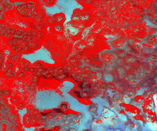
Bathymetric bottom coverage
“The CZMIL SuperNova enabled Tetra Tech to exceed the project’s density requirements, achieving approximately five points per square metre for bathymetric bottom density and an impressive 89% bathymetric bottom coverage across the area of interest,” said Renee Walmsley, vice president for Tetra Tech Geomatics and Remote Sensing. “Tetra Tech is dedicated to continuous improvement and innovation in bathymetric Lidar technology and is enthusiastic about exploring diverse environments worldwide, leveraging the CZMIL SuperNova system’s capabilities.”
“We are particularly pleased to see the CZMIL SuperNova excel on this NOAA project and are driven by advancing 3D topobathymetric Lidar solutions that help map and manage such aquatic environments. It is also our pleasure to support Tetra Tech on high-impact projects like this one,” commented Malek Singer, airborne product manager, Teledyne Geospatial, the company’s department that unifies the hardware and software expertise of Teledyne CARIS and Teledyne Optech.